
All tour information is user generated and although we try our best, we cannot guarantee its correctness. Always consult people with knowledge about the area and get a proper map. If in doubt, hire a guide!
Kyrkjetinden from Ørsta
Peak
Take the large path(small road up from the houses. You can go zig-zag on the road or take shortcuts more direct up through the forest that is cleared in parts. When the road ends you go straight up until you get out of the trees. Stay to the left of the ravine and proveed up the valley. Further up the ravine ends and you can easily cross the valley and head up to the summit via the wide slope. Take the same way down.
The closest ski resort is Ørsta
,
10 km away.
- Created by: Robert Johansson
- Difficulty: S3 - Medium (<35°)
- Danger/Exposure: E1 - Low
- Time: 04:00 hours
- Total climb: 936 m
- Total elevation drop: 936 m
- Length: 6.38 km
- Highest altitude: 1023 m
- Lowest altitude: 87 m
- Slope facing: W
- Extra gear: None
- Lift access: No
Photos
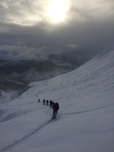
The valley you take up (and down)
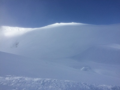
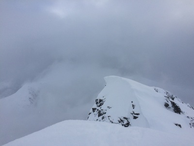
The summit
Map
Elevation
Loading...
Slope
Loading...
Negative slope values means the track is heading uphill.
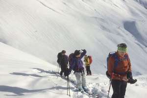
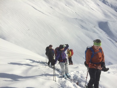
Public photos on this tour
At the summit