All tour information is user generated and although we try our best, we cannot guarantee its correctness. Always consult people with knowledge about the area and get a proper map. If in doubt, hire a guide!
Col Toronn
Peak
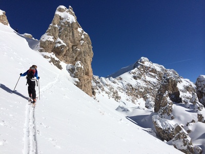
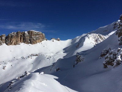
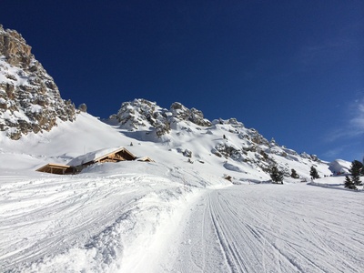
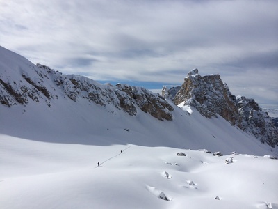
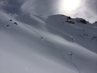
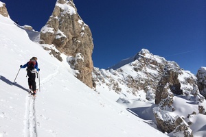
Start directly up the slope from the top of the lift. Stay left and head over bown into to the large bowl. You will see the main descent on the right as you head up onto the saddle. Then follow the ridge south, a short tricky part where you need take off your skis follows but after that it is easy up to the peak. Nice wide slopes down into the bowl. In the bowl it is kind of flat. If you stay to the left you can get some more nice slopes down to the forest. There is a track in the forest down to the cross country tracks that you can follow west back to the lifts.
There is also an alternative to take the same route up as you go down, then you can start from the parking by the cross country tracks.
The closest ski resort is Val Gardena - Gröden
,
5 km away.
- Created by: Robert Johansson
- Difficulty: S3 - Medium (<35°)
- Danger/Exposure: E1 - Low
- Time: 05:00 hours
- Total climb: 509 m
- Total elevation drop: 1096 m
- Length: 6.36 km
- Highest altitude: 2616 m
- Lowest altitude: 1625 m
- Slope facing: NW
- Extra gear: None
- Lift access: No
Photos
Map
Public runs
2014-02-13
Col Toronn
Robert Johansson
Elevation
Loading...
Slope
Loading...
Negative slope values means the track is heading uphill.
Public photos on this tour