
All tour information is user generated and although we try our best, we cannot guarantee its correctness. Always consult people with knowledge about the area and get a proper map. If in doubt, hire a guide!
The friendly forest
Short and sweet. There are many possible routes here but you probably want to join the other tracks for the flat part over the open area. The part in the beginning has trees with good amounts of space in between. The terrain is nice and a bit wavy. Not so steep so if the powder is deep you should maybe head somewhere else. After the flat part there is a short part through a bit denser forest before you get out to the transport piste that will get you back to the lifts.
- Created by: Robert Johansson
- Difficulty: S2 - Easy
- Danger/Exposure: E1 - Low
- Time: 00:15 hours
- Total climb: 0 m
- Total elevation drop: 264 m
- Length: 1.7 km
- Highest altitude: 2241 m
- Lowest altitude: 1977 m
- Slope facing: E
- Extra gear: None
- Lift access: Yes
Photos
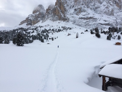
The flat part in the middle with the friendly forest to the left of the picture.
Map
Public runs
No public runs yet.Elevation
Loading...
Slope
Loading...
Negative slope values means the track is heading uphill.